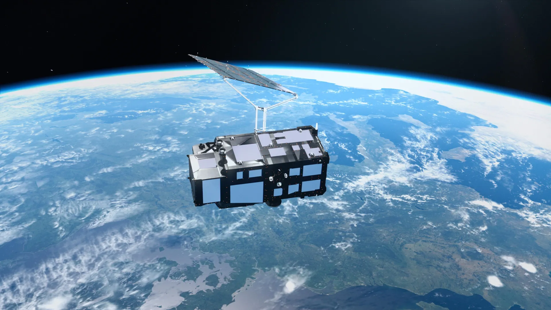
Just two weeks after launching into orbit, Europe's new Sentinel-3C satellite has delivered a breathtaking series of images and vital early data, offering a fresh perspective on a rapidly changing planet.
As part of the European Union's Copernicus Earth observation program managed by the European Space Agency (ESA), the satellite is designed to systematically monitor Earth's oceans, land, ice, and atmosphere.
Spectacular Postcards From Space
The spacecraft's advanced ocean and land color instrument has already captured striking, high-resolution views of diverse global landscapes:
- Italy's Diverse Terrain: A wide-angle capture spans from southern Germany across the Italian peninsula to Sicily. It vividly contrasts the snow-covered Alps against the fertile green fields of the Po Valley and the deep blue surrounding seas.
- The Vulnerable Arctic: A snapshot of the Canadian Arctic Archipelago reveals a complex labyrinth of frozen islands, rugged fjords, and lingering sea ice just as the annual summer melt reaches its minimum.
- The Turquoise Caribbean: A view highlighting Cuba and the Bahamas showcases shallow waters glowing in brilliant shades of turquoise against the deep dark blue of the open ocean.
Beyond Beautiful Pictures: Tracking Climate Change
While the initial images are visually stunning, Sentinel-3C’s primary mission is scientific observation. Its instruments are performing exceptionally well in early tests:
- Monitoring Sea Levels: Using a sophisticated synthetic aperture radar altimeter, the satellite has already mapped sea surface heights across the Atlantic Ocean and Mediterranean Sea. These measurements align closely with existing data, helping scientists track global sea-level rise—which has been accelerating at an average of 3.64 mm per year since 1999.
- Tracking Polar Ice: Early observations of the Greenland Ice Sheet match detailed reference elevation models, proving the satellite is ready to monitor how fast massive ice sheets are losing mass as global temperatures rise.
What Comes Next?
The European Space Agency (ESA) and Eumetsat are currently putting Sentinel-3C through a five-month commissioning and testing phase. Once fully operational, the satellite will join a powerful fleet of orbital sentinels, providing critical data to help scientists predict weather, monitor marine heatwaves, and understand the long-term impacts of climate change.