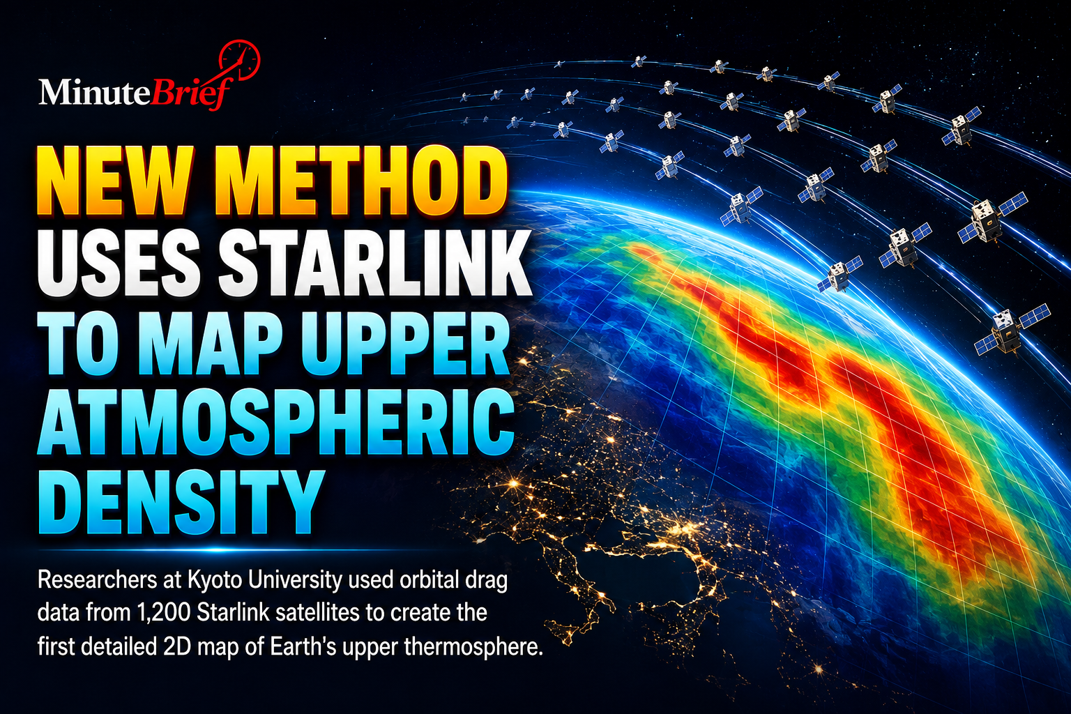
Researchers at Kyoto University have found a clever way to map Earth’s upper atmosphere by tracking thousands of Starlink satellites already in orbit.
By measuring how orbital drag slows down roughly 1,200 Starlink satellites at an altitude of 482 kilometers (around 300 miles), the team created the first 2D tomographic map of the thermosphere—a region notoriously difficult to observe.
- Why it’s hard to map: Over 99% of the upper atmosphere is neutral gas (the thermosphere), which doesn't interact with radio waves as the charged ionosphere does.
- How it works: Scientists analyzed public satellite tracking data to measure orbital decay from gas drag, mapping horizontal density variations across latitude and longitude.
- Why it matters: Better real-time density maps improve orbit predictions, reducing collision risks with space debris and enhancing space weather forecasting.
By repurposing commercial satellite data, scientists have turned a communications constellation into a cost-effective, planet-wide scanner to keep low Earth orbit safe.
Source: Science Daily